


Digital Cartography
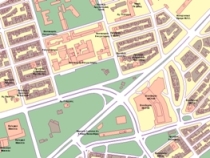
Thanks to its vertical organization, state-of-the-art equipment and high level of technical expertise, Geomatics applies innovative solutions in the development and management of spatial and mapping data within a digital cartography environment.
- Design and execution of full scale digital cartography projects.
- Combined use of vector and raster data with Digital Terrain Models.
- Compilation of digital cartographic data bases, organization and management of digital cartographic data within a GIS environment.
- Analog-to-digital conversion of existing maps, digital updates.
- Digital databases of urban areas within GIS environment for public utility networks management.
- Custom applications development for automated data management in combination with digital cartographic backdrops and orthophotomaps.