


Company
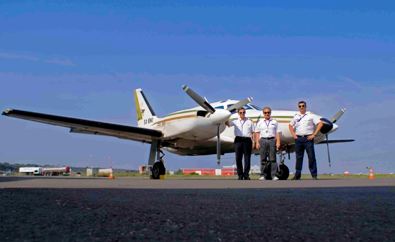
Geomatics S.A established in 1992 with the aim to develop activities in the field of Geoinformation Technologies. Starting in 1992 as an applications and geographical data bases development company in the field of G.I.S expanded its business very soon covering a wide range of services related to aerial photography, mapping, geodesy and land surveying applications, cadastral surveys, Geographical Information Systems, remote sensing, use and application of airborne sensors in collection and processing of spatial information.
Nowdays the company, drawing an experience of more than twenty years, consists the largest private firm in the fields of aerial surveys and mapping in Greece, developing also activities in Europe, Midle East and Africa.