Technologies
Investing continuosly on superior technology means and equipment, Geomatics established a strong technological infrastruture which, in combination with the high level of scientific and technical personel, provides to the company the capabilities to respond to the more demanding complex geoinformation and aerial mapping projects and applications.
In Geomatics we believe to the importance of technological infrastructure both, in equipment as well as in software and applications products, considering that they consist a basic factor for ontime and according to the more strict specifications completion of a project.
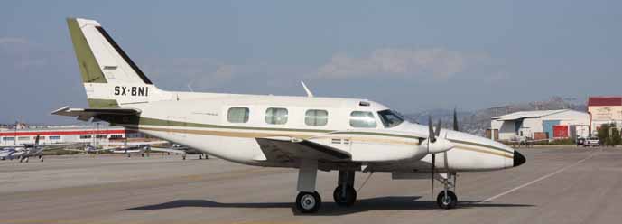
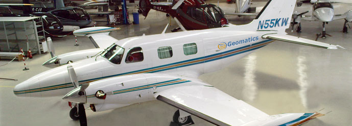
Besides that, considering the importance and the contribution of aviation equipment in aerial surveying procedures for both, small as well as large projects, we take special care for continuous airworthines of our aircrafts, with emphasis in flights' safety, applying EASA and FAA rules and regulations in the more schlastic way.


