


Aerial Photography
Raw information, necessary for the production of photogrammetric diagramms, mapping products, digital orthophotos or digital terrain models assume the use of high quality systems for aerial photography and antimetric data collection.
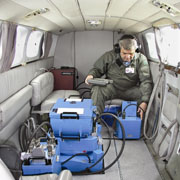
Geomatics uses superior quality digital and analog aerial photography systems, equipped with high accuracy inertial systems (GPS/INS) for determination of phot-center coordinates and attitudes of aerial photographs (Omega, Phi, Kapa)
- Digital Aerial Camera, type Z/I Imaging Digital Mapping Camera (DMC)
Superior quality digital camera with capabilities of acquiring multispectral aerial photographs (R, G, B, N) equipped with FMC, Gyro Stabilized Mount and inertial GPS/INS system.
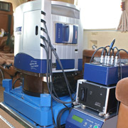
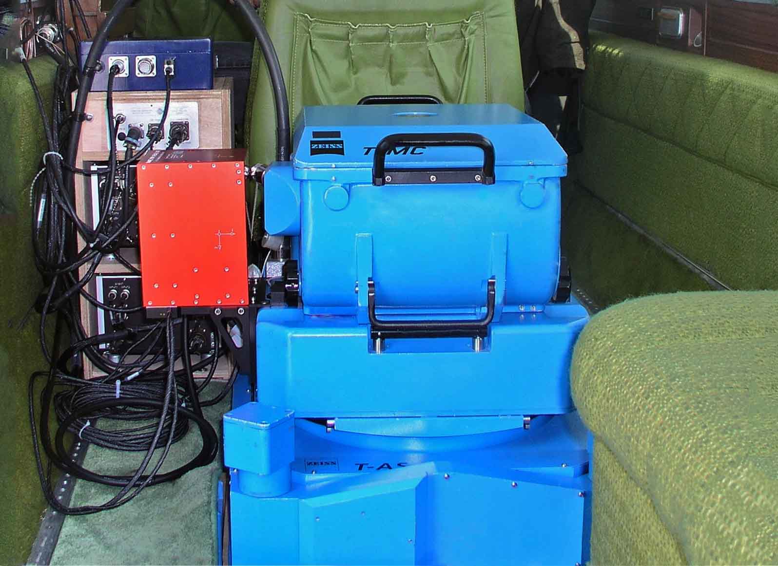
- Analog aerial camera type ZEISS RMK TOP 15 equipped with FMC system, Gyro Stabilized Mount and inertial GPS/INS system.
-
AEROCONTROL inertial GPS/INS system by IGI GmbH for accurate determination of of photo-center coordinates and attitudes (Omega, Phi, Kapa) of aerial photographs.
- Flight Management System CCNS-4 by IGI GmbH
- Flight planning and design using IGI Plan software by IGI GmbH
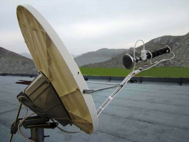
- Private METEO Station for continuous downloading of METEOSAT data
Aerial photography missions require continuous short time weather forecast. Geomatics owns private meteo station for continuous downloading of METEOSAT data in order to check present meteorlogical conditions for the areas of interest using proper hardware and software tools.