


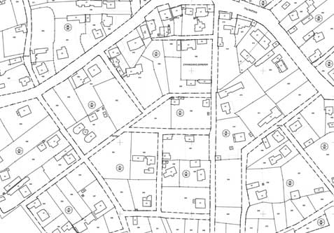
Cadastral Surveys & Land Information Systems

Geomatics undertakes and carries out comprehensive cadastral projects offering a high level of services in the development of Land Information Systems (L.I.S).
The equipment used for the execution of large scale mapping projects, combined with the solid infrastructure in computer and G.I.S systems and our broad experience in surveying projects are vital factors for the successful completion of large scale cadastral projects.cadastral projects.
Geomatics takes part in the ongoing Greek National Cadastral Project, contributing to the country's land information infrastructure.
For every project which demands surveying, registration, management or arrangement of properties, Geomatics offers total solution services ranging from mapping to Real Estate Portfolio Management including:
- Cadastral mapping and cadastral databases development.
- Development of Land Information Systems.
- Implementation of Town Plans.
- Cadastral surveys for expropriation purposes.
- Land consolidation surveys
- Property Management Information Systems
- Real Estate applications