


Training-Consulting Services
Consulting Services and Training
Geomatics/ versatility and advanced know-how, as well as its vertical organization, are considered key elements in providing comprehensive solutions to problems that a client (private company or public sector) may face in the area of geoinformatics.
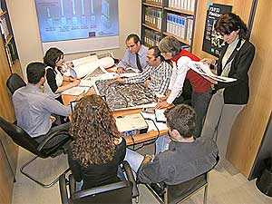
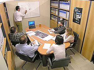
Our personnel is ready to provide comprehensive solutions in matters of planning, systems and applications development as well as training and technical support. The human resources comprise of experienced scientists and technicians in the areas of aerial photography, photogrammetry, GIS, digital cartography, remote sensing, conventional surveying applications and GPS technology as well as LIS and cadastre.
The philosophy of our company is based on the principle of "Comprehensive Solution and Continuous Support".
The complex nature of requirements regarding digital cartographic data and spatial information, demands a continuous update of our knowledge in all areas of geoinformatics. This comes as a prerequisite in order to provide clients, either companies or organizations dealing with infrastructure or public utilities, with the best possible solution.
In any case Geomatics offers the best combination of equipment, software and appropriate methodology for problem solving regarding cartographic products in order to achieve the best cost / benefit ratio.
- Analysis of requirements and optimum solution query.
- Planning of full-size cartographic programs.
- Supervision and quality control of cartographic projects and GIS.
- Installation of comprehensive GIS solutions (hardware, software, applications, digital data).
- Personnel training with parallel involvement of Geomatics technicians for gradual knowledge transfer.
- Technical support.