


Charotgraphy
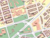
Cartography is an important tool allowing a professional to represent various phenomena of spatial- geographical dimension, in a detailed manner, on maps of either urban or interurban areas.
Phenomena and indicators such as:
- Population density
- Number of households and residences
- Income distribution
- Companies dispersion
- Competitor companies' position visualization
- Sales centers' fields of influence
- Sales persons' fields of responsibility
- Data Base geocoding
- Land uses
can be visualized on urban or national maps, offering full perception of their geographical dimension in a comprehensible and detailed manner.
Thanks to its rich library of maps of urban and interurban areas and to the great number of orthophoto maps available in its archive, GEOMATICS is able to produce any kind of maps and visualizations for you, adapting it to your company's needs.