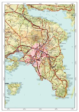
Digital Data-Urban Areas
Digital maps are the center of any G.I.S. application. Combined with thematic information they form Geographical Databases which, properly exploited through the use of G.I.S. software packages, provide a wide range of application possibilities such as:
- Geomarketing
- Determination of optimal service & product demand locations
- Geo-demographic analysis
- Fleet tracking and management
- Urban design
- Noise and pollution models
- AM - FM Automated Mapping & Facilities Management
- Telecommunication networks (GSM, UMTS, LMDS)
- Routing and distribution applications
- Logistics applications
- Transport networks and systems
- Telematics applications
- Navigation applications
GEOMATICS produces and disposes of a great volume of geographical data, which allows for a wide range of G.I.S. applications, emphasizing on:
Accuracy, completeness, quality and updating of all data
We produce data from scratch. Starting with the acquisition of aerial photographs, which constitute the basic information for every mapping production, we cover the whole spectrum mapping procedures, required for the production of a full data set, thanks to the company's vertical structure and equipment that we dispose of for this purpose.
We do not digitize base maps compiled by other public mapping organizations. We produce raw mapping data in direct digital form, guaranteeing full copyright, high accuracy and frequent up dating.
We collect the needed descriptive information from the corresponding official organizations (Ministries, Local Authorities, Banks, Chambers, Professional Organizations), we connect them to the digital maps so as to create Geographical Databases, suitable for a wide range of applications.


