


Photogrammetry
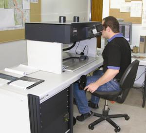
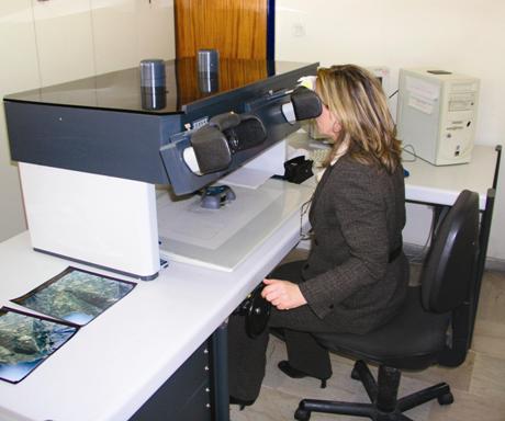
Photogrammetry is today's main methodology of producing cartographic backdrops on a worldwide level. Latest developments in the field of analytical and digital photogrammetry, in combination with those in the field of aerial photography, have made it possible to produce very high accuracy topographic backdrops in vector or raster formats.
Geomatics holds a leading position in the Greek market of photogrammetric surveys and is considered as the largest private service provider of photogrammetric mapping with a history of over 20 years.
The company possesses top quality equipment and the know-how that allows us to offer a wide range of services and products such as:
Photogrammetric diagrams at small and large scales for infrastructure and development projects, urban and land planning.
- Aerial triangulation and large blocks adjustment using on board kinematic D-GPS and GPS/INS techniques.
- Design and execution of large scale photogrammetric projects covering all of its stages (aerial photography, processing and printing of aerial films, ground controls, aerial triangulation adjustments, creation of digital cartographic databases).
- Wide coverage photogrammetric mapping and updating of existing maps.
- Terrestial photogrammetry applications including surveying of buildings, archeological sites and industrial installations.
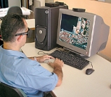
The rapid evolution of computer systems and technologies along with the creation of new markets (telecommunication, GIS), have opened new horizons in the development of new cartographic products of high quality, high accuracy and information density.
Digital orthophotomaps comprise a new cartographic product that combines map accuracy with information density that only an image can provide.
Thanks to the available equipment for high quality image acquisition on one hand, and the existing analytical and digital photogrammetric systems on the other, Geomatics is able to offer:
- Digital Terrain Models (DTMs), profiles and cross sections for various engineering design projects.
- Compilation of color and / or B&W digital aerial orthophotos and orthophotomaps at various scales using advanced digital photogrammetric systems.
- Digital Surface Models (DSMs) and Digital City Models (DCMs) for telecomm applications (GSM, LMDS, UTMS).
- Clutter classification and digital data at any format, suitable for radio planning studies and telecomm applications.
- Cartographic backdrops that combine both raster and vector information.
- 3-Dimensional visualization as a combination of DTMs and digital orthophotomaps.