


Laser Scanning & Precision Surveys
Precision surveys constitute a new field of applications with specific requirements is tecchnological means and experience. In Geomatics we cover a wide range of services addressed to the construction industry, archaeological research, architecture and industrial constructions.
Precision surveys are based on the use of terrestial laser scanners, terrstial photography with calibrated cameras and high precision geodetic instruments in combination with special software tools. More specifically, terrestial laser scanners provide the possibility of acquiring a hudge volume of measurements per minute creating a 3D model of any construction, object or industrial installation, leading to the creation of facades, sections or 3D drawings of high precision using special software tools.
Fields of applications:
- Survey of archaeological sites, monuments and objects.
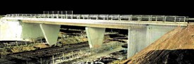
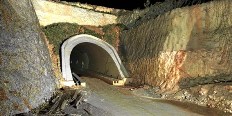
- Precision surveys of technical constructions (as build drawings) - Bridges, tunnels, special constructions, cuttings and steep slopes.
- Volumetric surveys in excavation and mining fields, mines and technical constructions.
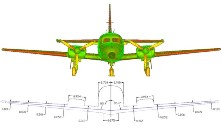
- Industrial measurements and surveys
- Architectural surveys
- Shiping industry
- Measurement of sedimentation
- Deformation measurements