


Land Surveys and Geodesy
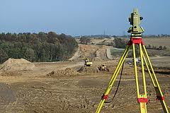
Within the company's vertical organization framework as well as our policy of offering comprehensive services, Geomatics' modern survey equipment and skilled personnel enables it to undertake and carry out any kind of land surveying project.
Using recent developments in surveying measurements and techniques as well as state of the art equipment, the company offers a wide range of services in all areas of traditional land surveying:
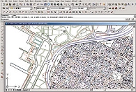
- Production of high accuracy large scale topographic diagramms.
- Implementation of construction plans in the field
- Precision surveys for landslide measurements.
- Tunnel profiles and underground surveys.
- Terrestial and industrial laser surveys
- Architectural and archeological sites surveying.
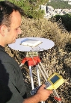
The use of satellites in the science of geodesy is a development that has dramatically changed the measuring procedures and techniques over the last decades. Geomatics, using cutting edge technology, takes advantage of recent developments in satellite geodesy as well as the Global Positioning System (G.P.S) in various applications such as:
- Establishment, measurements and adjustment of high accuracy horizontal ground control networks.
- G.P.S surveys using static, fast static and RTK techniques.
- Complex applications, using GPS technology.
- Positioning services, road and pipeline alignments and implementation of plans in the field, marine vessel guidance in cable and pipeline laying.