


Smart Eyes
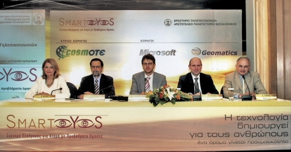
The commencement of the pioneering research program SmartEyes, was announced today by the Telecommunications Laboratory of the Aristotle University in Thessalonica and the sponsoring companies, COSMOTE, Microsoft Hellas and Geomatics. SmartEyes is a comprehensive navigation system, specially adapted for the needs of people with partial or total eyesight loss, which enables them to safely commute in an urban environment, by making use of modern technologies. Showing their strong will to contribute to the improvement of the life quality of people with eyesight problems, COSMOTE, Microsoft Hellas and Geomatics join forces with the Aristotle University of Thessalonica, by offering financial support, technical know-how and resources for the success of the “SmartEyes” project. SmartEyes is a small-sized portable computer, having the ability to connect with Bluetooth technology and headsets, carrying an internal GPS receiver and an advanced communications interface to the user. It is equipped with an enhanced digital map which provides the necessary landbase with a series of important details like mass transportation routes, landmarks and points of interest. The user can create custom routes and the system will communicate with him/her with the use of sound messages indicating his/her position and how close they are regarding their final destination. A series of proximity warnings to bus stops, traffic lights etc. can also be issued automatically by the device. The program will span a 19 month period, of which the first 13 months will be dedicated to the development of the application and the training of the final users. The remaining 6 months will be the actual trial period for a total of 150 users (100 from Athens and 50 from Thessalonica). SmartEyes project also includes the systematic maintenance of the product and the recording of the findings of its trial use. The SmartEyes project is a real challenge and a unique opportunity for Geomatics to make known the endless possibilities that are being offered by the Geoinformatics technologies and the Geographic Information Systems for the navigation of the handicapped individuals in an urban environment. It was this very reason that made us embrace from the very first moment this excellent effort of the Aristotle University, by offering all the necessary digital cartographic data for the success of this unique project”, underlined Mr. Demetre Tsivikis, Managing Director of GEOMATICS. It is pointed out that the 5-members team of the Telecommunications Laboratory of the Aristotle University which developed the “SmartEyes” software has already achieved a worldwide recognition, by taking the 3rd place at the “Imagine Cup 2004” international software design competition, organized by Microsoft and held in Brazil.