


Company Profile
Geomatics is a dynamically growing company involved in mapping, geospatial data collection and processing, consulting services and applications development that offers a wide range of services covering:
- Aerial photography
- Film processing and printing
- Digital aerial imaging
- Photogrammetric mapping
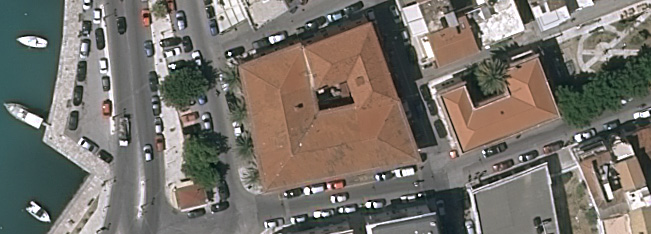
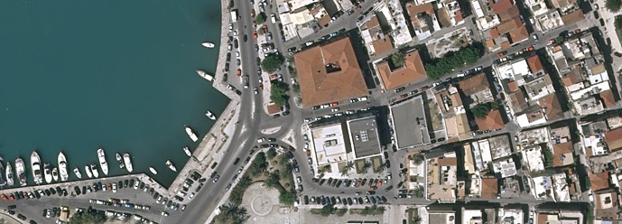
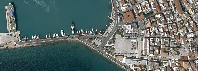
- Production of orthophotomaps
- Digital cartography
- Development of geographic data bases.
- Geographic Information Systems
- Production and distribution of digital data
- Land surveying and satellite geodesy
- Cadastral surveys and Land Information Systems
- LiDAR applications.
- Telematics applications
- Satellite image processing.
Geomatics, with its vertical organization, state of the art equipment and high caliber scientific and technical personnel, can undertake and execute complex mapping and geoinformatics projects in an efficient and professional manner. We are continuously investing in new technologies, in an effort to improve and maintain a high level of technical skills among staff professionals. Thanks to this approach Geomatics is considered as one of the largest and highly respected firms in all areas of collection, editing and management of spatial data.