


Road Netwok Database
The national road network is one of the most important layers of information for a wide range of applications, especially GIS applications, fleet tracking applications, vehicle routing optimization, navigation e.t.c.
These applications require the existence of structured geoinformation containing the right geometric data and credible attributes on the road network status.
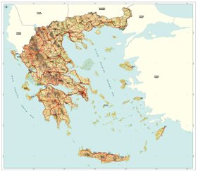
GEOMATICS has realized a significant investment towards that direction, developing the Greek Road Network Data Base - HellasROADNET- that constitutes the most complete registration and documentation of the Greek road network in GIS environment.
HellasROADNET builds up to technical specifications corresponding to a 1:50.000 scale and contains the following layers of information and attributes.
- Road network classified in several categories.
- Motorways
- First, Second and Third class National Road Network
- First and Second class Regional Road Network
- Communal network
- Tracks
- Forest roads
- Legislated routes according to Ministry of Public Works legislation scheme.
- Road numbering, according to National - International and European coding scheme
- Exits - Entrances of motorways
- Arcs / Nodes coding for routing applications.
Information on:
- Road surface types
- Traffic islands existence
- Traffic lanes per direction
- Fuel stations